Events
Find your passion through the many events available at the park.

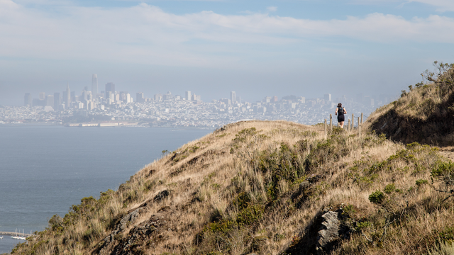
It’s hard to believe such a vast, beautiful, and diverse wilderness is so close to a major metropolitan area. The Marin Headlands is a crown jewel of the Golden Gate National Parks abounding with places of natural wonder and beauty (Rodeo Lagoon/Valley, Gerbode Valley, Hawk Hill, Tennessee Valley) and remarkable historic sites (Point Bonita Lighthouse, Fort Cronkhite, Nike Missile Site, Battery Townsley).
See specific web pages for more information on each individual site.
In addition to a vast network of multi-use trails, amenities for visitors include the Marin Headlands Visitor Center and four unique campgrounds.
The sea cliffs and road cuts of the Headlands have exposed some of the finest examples of pillow basalt and radiolarian chert.
Millions of years ago, these rocks formed at the bottom of the sea, several thousand miles from the coast. The black pillow basalt was created from lava spewing from vents, while the red-brown radiolarian chert formed as the remains of radiolarians (microscopic protozoans) collected in layers.
As the seafloor moves slowly east, it slides under the North American continent and leaves behind scrapings of radiolarian chert and pillow basalt.
The Parks Conservancy has supported numerous projects in the Marin Headlands over its 40-year history. Critical habitat for endangered Mission blue butterflies and threatened California red-legged frogs have been restored. Invasive plants have been removed, and rare species protected. Historic forts, batteries, and other cultural treasures have been preserved. And trails, wayfinding signage, overlooks, and other visitor amenities have also been created or improved.
But our work is not done. Ongoing efforts, especially at Hawk Hill, will continue to protect sensitive habitats and rare species while creating an improved trails and visitor access.
Learn more about what the Parks Conservancy is doing in the Marin Headlands.

Curran White/Parks Conservancy

Catey Ritchie/Parks Conservancy

Mason Cummings/Parks Conservancy

Yakuta Poonawalla/Parks Conservancy

John Martini

Curran White/Parks Conservancy

Curran White/Parks Conservancy

Kirke Wrench/Parks Conservancy

Alison Taggart-Barone/Parks Conservancy

Alison Taggart-Barone/Parks Conservancy
Find your passion through the many events available at the park.
Explore what kind of activities are available near the park.

© 2026 Golden Gate National Parks Conservancy. All rights reserved.