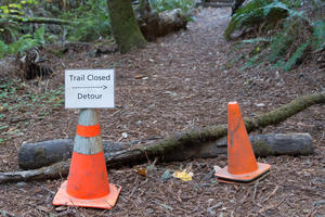
Trail
Length
1.17 miles round-trip
Hiking this trail is a simple out-and-back with a shaded path for the first portion of the trail. After the second bend, the views towards San Francisco and the Golden Gate Bridge are eye catching. At the third bend, Fort Baker comes into view.

Trail
Length
0.32 miles round-trip
This short trail takes visitors on a boardwalk across the Crissy Marsh, an essential feature of Crissy Field 's dramatic, community-powered transformation in 2001. Today, you'll pass through beautifully restored wildlife habitat and have a chance to see several species of waterbirds, including the majestic great egret.

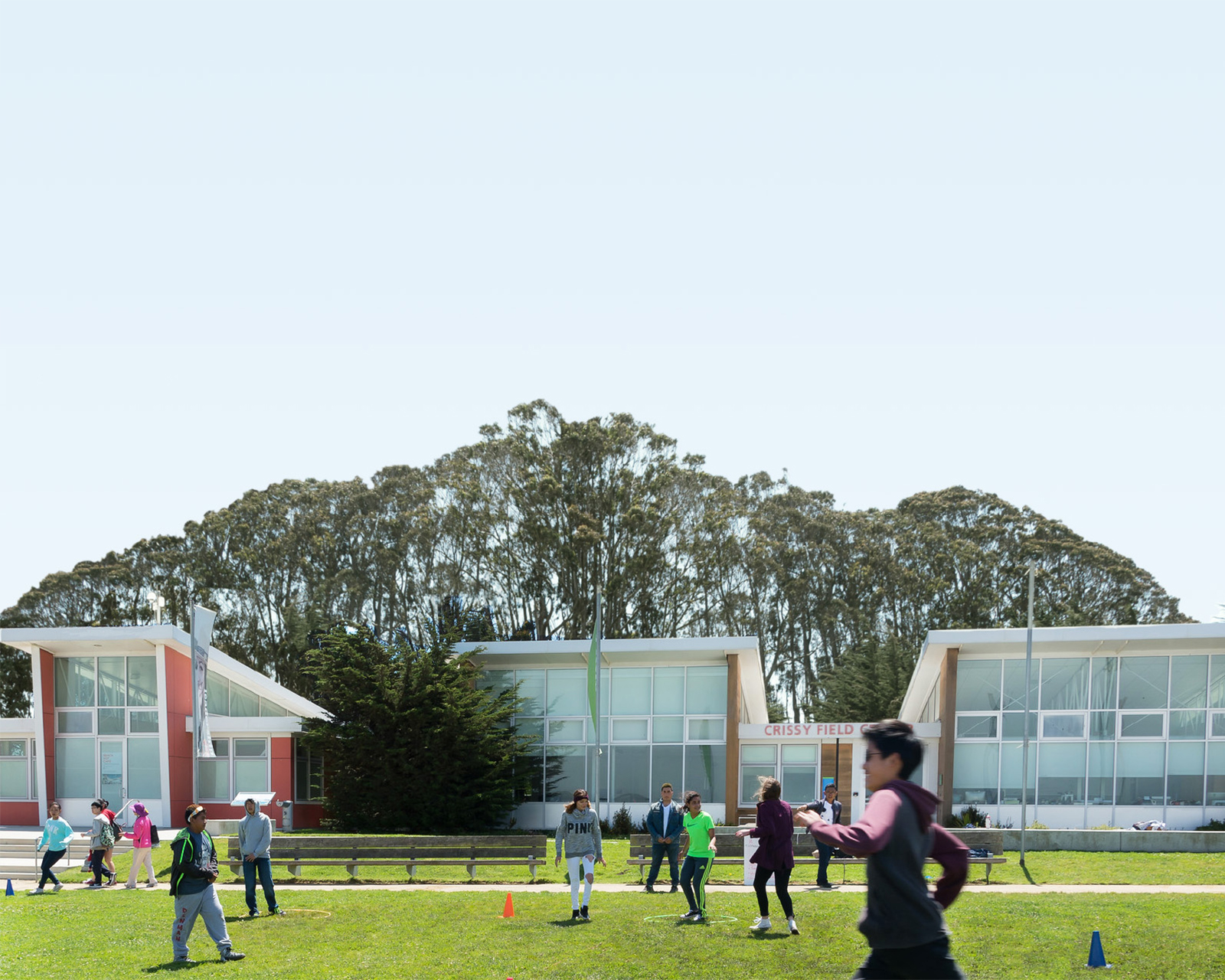
Trail
Length
0.21 miles round-trip
This short connector trail, lined by lovely trees, links the Mason Street bike path to the east Crissy Field parking area. It'll take you by Crissy Field Center , the Parks Conservancy's urban environmental education center in partnership with the National Park Service and Presidio Trust.

Trail
Length
1.60 miles round-trip
A great hike for nature lovers that connects Arguello Gate to the Presidio 's Main Post. The Ecology Trail is multi-use for pedestrians and cyclists, and connects to the Bay Area Ridge and Mountain Lake Trails. Check out El Polin Spring, a great site for spotting hummingbirds, and keep your...

Trail
Length
1.20 miles round-trip
The most gorgeous view possible of this location occurs during sunset. The rocky shore is even more dramatic when the surf is rough against it and the sun a warm orange-pink.

Trail
Length
1.74 miles round-trip
This access trail to Rancho Corral de Tierra connects visitors with the Spine Trail. Along the way, it takes visitors past the Ember Ridge Equestrian Center; you're free to look but please don't disturb the horses (or the staff!).

Trail
Length
1.84 miles round-trip
This trail offers another portal into the sprawling, wild landscapes of Rancho Corral de Tierra . Find the signed trailhead at the end of Kanoff Street (cross-street 2nd) in Montara. After an opening stretch through coastal meadow, the trail gets steep and continues to climb steadily. It will eventually take...
Trail
Length
2.35 miles round-trip
This trail segment is part of the sprawling network of rough-hewn trails across Rancho Corral de Tierra . It is believed to be named for the nearby Farmer's Daughter produce stand, located just off Highway 1 in Moss Beach and renowned for its annual pumpkin patch.

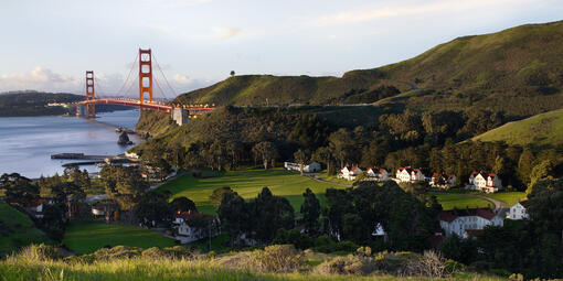
Trail
Length
3.20 miles round-trip
Hike the trails in and around Fort Baker —home to the endangered Mission blue butterfly—and take in spectacular vistas of the bay and the Golden Gate Bridge .

Trail
Length
0.77 miles round-trip
Tucked almost directly beneath the Golden Gate Bridge , this former army post is on the threshold of the dramatic coastline of the Marin Headlands .

Trail
Length
0.39 miles round-trip
Located in the Marin Headlands north of Rodeo Lagoon , Fort Cronkhite is a former World War II military post that stands at the edge of the Pacific Ocean. Fort Cronkhite is one of the few examples of these World War II "mobilization posts" remaining in the country. The fort's...

Trail
Length
0.88 miles round-trip
Fort Funston features 200-foot-high sandy bluffs on San Francisco’s southwest coast where the winds blow reliably wildly. No surprise it is one of the premier hang-gliding spots in the country. A network of trails make it ideal for hiking and horseback riding. Dog owners will be happy to know they...