The Golden Gate National Parks Conservancy's financial statements have been prepared in accordance with accounting principles generally accepted in the United States of America and are presented on the accrual basis of accounting showing unrestricted, temporarily restricted, and permanently restricted net assets.
Enjoy an afternoon in the Presidio of San Francisco with craft beer tastings from local breweries on the Civil War Parade Grounds next to the Presidio Tunnel Tops.
Make sure you preserve the bloom in the Golden Gate National Recreation Area! Check out some of our top picks for trails that have wildflowers without the crowds.
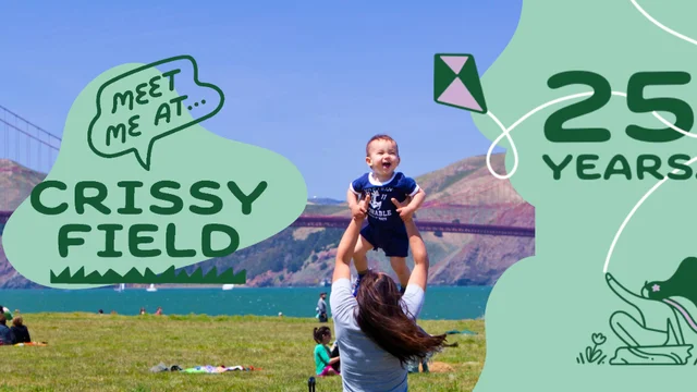
Crissy Field is a wonderland for birdwatchers of all levels. We've put together an introductory guide to some of the wonderful bird species you can encounter when out at Crissy Field.
Here are some extras from the Spring/Summer 2026 issue of Gateways, the member newsletter of the Golden Gate National Parks Conservancy. If you're a member, you got the entire colorful newsletter delivered straight to your mailbox. Not a member? Join today!