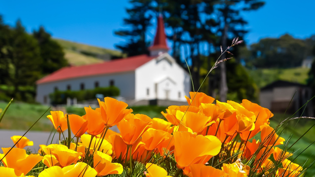
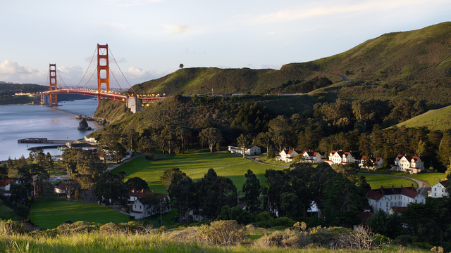
At the rear of the newer Cavallo Point buildings at Fort Baker, you'll discover a set of stairs that connect you with the Drown Road Trail. Highlights include sensational views of the Golden Gate, and, of course, the historic post chapel itself (now a picturesque event and wedding venue).
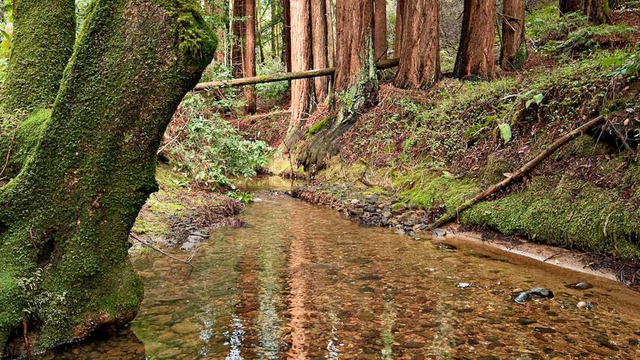
Hiking this trail is a simple out-and-back with a shaded path for the first portion of the trail. After the second bend, the views towards San Francisco and the Golden Gate Bridge are eye catching. At the third bend, Fort Baker comes into view.
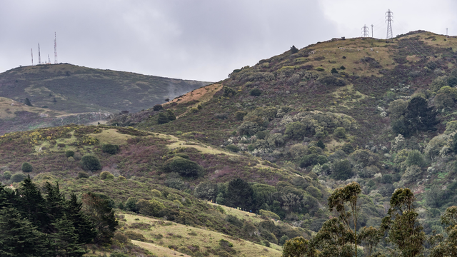
This is a long but gradual climb from the eastern side of the Marin Headlands. This fire road is in good condition, making for an easy route to meander along.