Fort Miley is hidden in plain sight. If you’ve visited Lands End or Sutro Baths, you’ve already passed right by this former military site. On your next visit, look east as you find parking near the USS San Francisco Memorial, you’ll see a paved road and one entrance to this
Visit a beautiful part of the Golden Gate National Recreation Area in a loop easily accessible by car, bike, and SamTrans bus lines. This area was improved with the help of community volunteers and is a showcase of restored native plants and wildlife habitat.
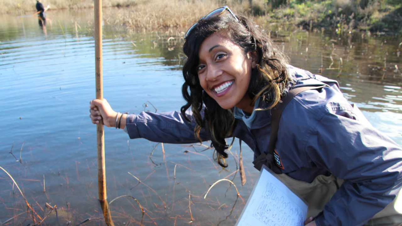
Visit a beautiful part of the Golden Gate National Recreation Area in an loop easily accessible by car, bike, and SamTrans bus lines. This area was improved with the help of community and park volunteers and is a showcase of restored native plants and animal species.
After visiting Cavallo Point and the beautifully restored Colonial Revival buildings along the main parade at Fort Baker, be sure to make a side trip to Battery Yates, located just off Satterlee Road.
Watch hawks trace circles in the sky from rolling hills in the Marin Headlands. Besides its widescreen vistas of the Pacific and the Golden Gate, Hawk Hill offers fascinating wildlife experiences.
From the visitor center, begin this trail through a valley of old-growth coast redwoods. This will be an outing like no other, due to the incredible trees that line this trail. If you need, there are plenty of benches to sit back and look up from.
Leaving from the immensely popular Muir Woods National Monument, this hike is a good example of the hikers “rule-of-halves.” This rule states that the number of hikers on trail decreases by half every half mile.