Events
Find your passion through the many events available at the park.

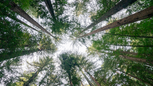
It is awesome atop this 2,500-foot high mountain in Marin with its 360-degree view from San Francisco Bay to the Pacific. But anywhere on "Tam" you can find nature at its most glorious. Miles and miles of trails ribbon the mountain, crossing redwood valleys, creeks, waterfalls, and wide-open grasslands. It has been treasured turf for hikers, cyclists, and equestrians since the 1880s. The One Tam partnership mobilizes the resources of the National Park Service, California State Parks, The Marin Municipal Water District, Marin County Parks and the Parks Conservancy to ensure a vibrant future for Mt. Tamalpais. Find out how you can get involved.
A Forest of Dwarf Cypress
On the slopes of Mount Tam grows a forest of small cypress trees (Cupressus pigmaea). Lack of nutrients in the mountain’s serpentine soil stunts the growth of these trees, causing them to mature when only a few feet tall. To visit this pygmy cypress forest, take either the Ben Stein Trail north from Rock Springs or the Old Stage Road half a mile northeast of the Bootjack Picnic Area.
The Crookedest Railroad
Mount Tamalpais enjoys the unique distinction of having once had the world’s crookedest railroad ascend its southern slope. Built in 1896, the Mill Valley and Mount Tamalpais Scenic Railroad negotiated 281 hairpin curves on its eight-mile way to the summit.
Riders came from near and far to try out this new branch line, which later became known as the “longest roller coaster ride in the world.” The Mill Valley and Mount Tamalpais Scenic Railroad was removed in the 1930s. Today you can hike the Old Railroad Grade Trail from the north side of the Mountain Home Inn to Blithedale Ridge in Mill Valley.
The Parks Conservancy implements projects on Mt. Tam through the One Tam initiative, a partnership of the Conservancy, Marin Municipal Water District, National Park Service, California State Parks, and Marin County Parks.
Founded in 2014, One Tam combines the expertise and resources of its partners to support a wide range of work that is vital to the health of the mountain, enriches the experience of its visitors, and inspires a new generation of stewards.
Find your passion through the many events available at the park.
Explore what kind of activities are available near the park.
© 2026 Golden Gate National Parks Conservancy. All rights reserved.