Hard

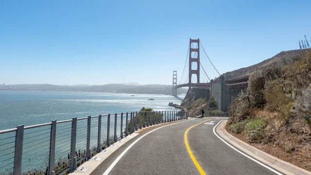
Vista Point Trail, a paved bike and pedestrian path, stretches out towards the Golden Gate Bridge.
Vista Point Trail
Trail Length: 0.64 miles round trip

The newly constructed Vista Point Trail at Fort Baker delivers unmatched views of the Golden Gate Bridge and Alcatraz Island.

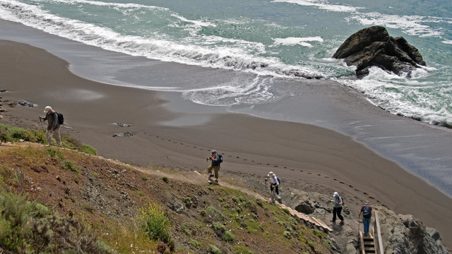
Stairs down to Black Sands Beach
Upper Fishermans Trail
Difficulty Level: Easiest
Trail Length: 1.08 miles round trip

The Upper Fishermans trail down to Blacks Beach is steep with plenty of stairs.

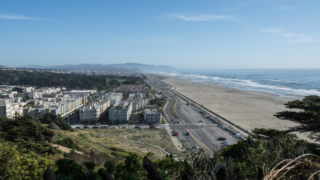
View from Sutro Heights
Sutro Heights Trail
Difficulty Level: Easiest
Trail Length: 0.16 miles round trip

This is a short and steep downhill that brings you from 48th Ave down to Balboa Street. The path has a few steep steps built into the hillside which makes the difficulty Intermediate/Difficult. This path goes from Ocean Beach up to Sutro Heights Park and back.

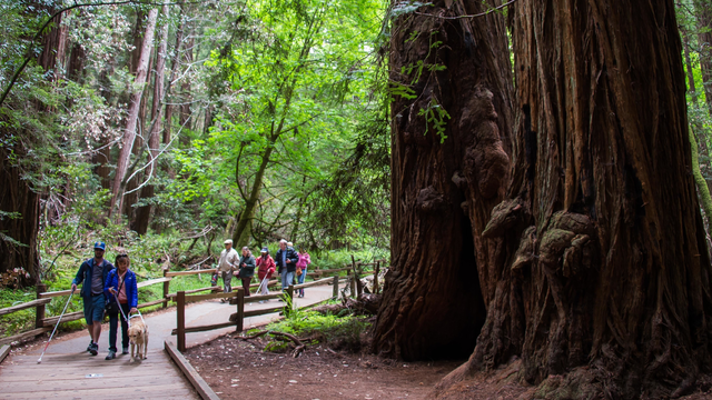
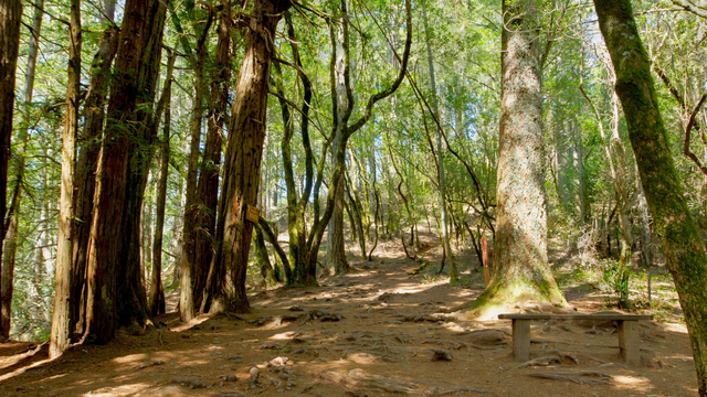
Boardwalk trail along Redwood Creek through Muir Woods
Redwood Creek Trail
Difficulty Level: Easiest
Trail Length: 2.03 miles round trip

From the visitor center, begin this trail through a valley of old-growth coast redwoods. This will be an outing like no other, due to the incredible trees that line this trail. If you need, there are plenty of benches to sit back and look up from. 

Muir Woods National Monument is one

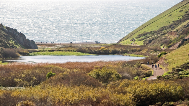
View over Tennessee Valley toward the beach and ocean
Old Springs Trail
Difficulty Level: Easiest
Trail Length: 2.61 miles round trip

Best used in the downhill, northerly direction into Tennessee Valley. From the junction with the Miwok Trail - Bunker Road to Wolf Ridge, the trail starts fairly level, crossing several wood bridges with nice views over Tennessee Valley out to the Pacific Ocean.

Meditation on the bluffs at Mori Point
Mori Bluff Trail
Difficulty Level: Easiest
Trail Length: 0.44 miles round trip

At the end of the Old Mori Road Trail, at the west end of Mori Point, you'll come to the intimidating sight of the Bootlegger's Steps.

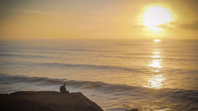
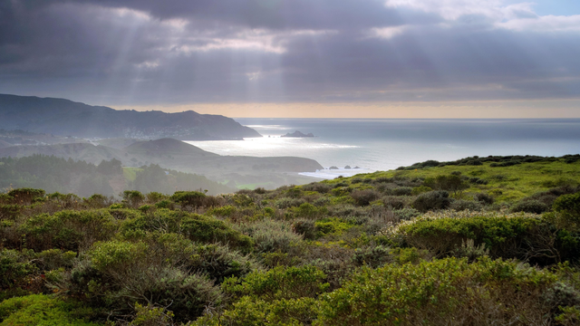
Sunset at Milagra Ridge
Milagra Ridge Spur Trail
Difficulty Level: Easiest
Trail Length: 0.35 miles round trip

From the Sharp Park entrance, this flat trail includes a loop on the ridge that opens up to beautiful hilltop meadows. Easy singletrack and doubletrack will take you around the peak. 

Intersection of the Lost Trail and Canopy View Trail
Lost Trail
Difficulty Level: Easiest
Trail Length: 1.09 miles round trip

From the top descending into Muir Woods National Monument, you'll find switchbacks, loose footing, and plenty of roots and branches and rocks to step over. The descent will take you through a fast-changing landscape.

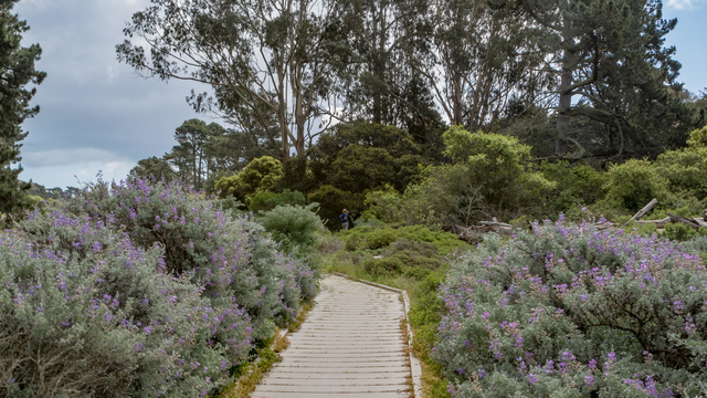
Lobos Creek Trail boardwalk
Lobos Creek Trail
Difficulty Level: Easiest
Trail Length: 0.68 miles round trip

Before San Francisco became the bustling city we know today, a large part of it was made up of coastal sand dunes. With the development of San Francisco over two centuries, much of the native landscape no longer exists.
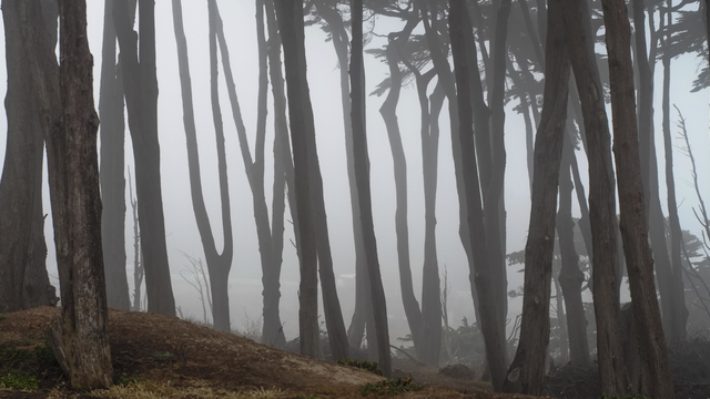
Cypress trees in fog at Lands End
Legion of Honor Trail
Difficulty Level: Easiest
Trail Length: 0.24 miles round trip

This short connector trail links the main Coastal Trail thoroughfare across Lands End to El Camino del Mar, near the Legion of Honor art museum. 

A part of the Fine Arts Museums of San Francisco, the Legion of Honor houses a vast collection of ancient and European art in a