Search

Search

What Can We Help Find?

Found 229 Results

Bridge in Muir Woods Forest
Self-Guided Hike: Muir Woods


Explore Muir Woods as a completely flat loop or venture up the hillside on to trails less traveled for more of a workout! See a map of all hiking trails in the Woods here.


Distance: Varied

Time: 1-3 hours

Level: Easy to moderate, can either do a flat

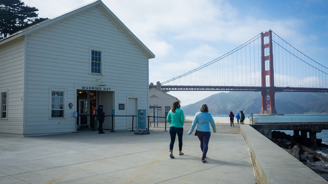
Warming Hut in front of the Golden Gate Bridge
Self-Guided Hike: Celebrate the 20th Anniversary of Crissy Field

Once a disheveled collection of worn military buildings and neglected rubbly asphalt, Crissy Field was restored to its marshy beginning, while paying homage to the military history prevalent here since 1776. Click here for the hiking route.

Distance: 2.8 miles round-trip, or 3.6 miles round-trip with Fort Point included

Time:

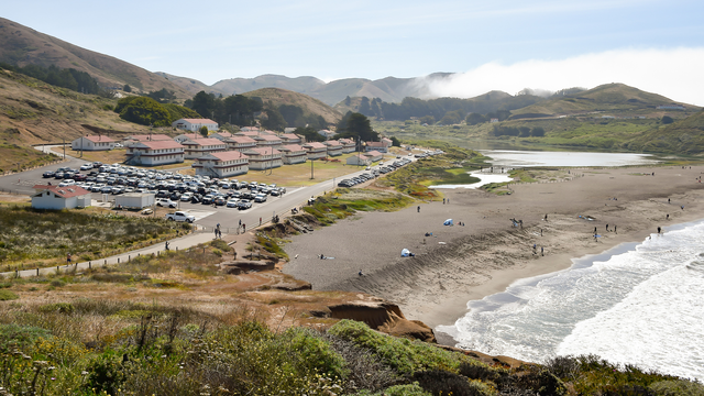
View of Rodeo Beach
Self-Guided Hike: Rodeo Valley


Marvel at the beauty of the Marin Headlands on this moderate hike! There isn't any shade for the duration of the hike, so make sure to wear a hat and sunscreen. Print out the map or download on your phone as service is not reliable.


Distance: 4.5 miles

Fort Baker Chapel
Chapel Steps Trail
Difficulty Level: Easiest
Trail Length: 0.31 miles round trip

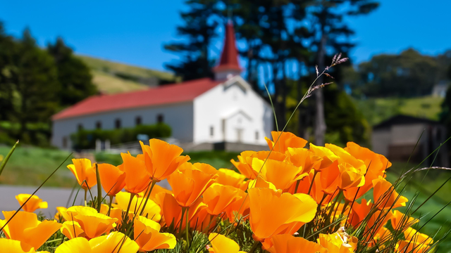
At the rear of the newer Cavallo Point buildings at Fort Baker, you'll discover a set of stairs that connect you with the Drown Road Trail. Highlights include sensational views of the Golden Gate, and, of course, the historic post chapel itself (now a picturesque event and wedding venue).

Chip Trail
Difficulty Level: Easiest
Trail Length: 0.28 miles round trip
Fort Baker
Drown Road Trail
Difficulty Level: Easiest
Trail Length: 1.17 miles round trip

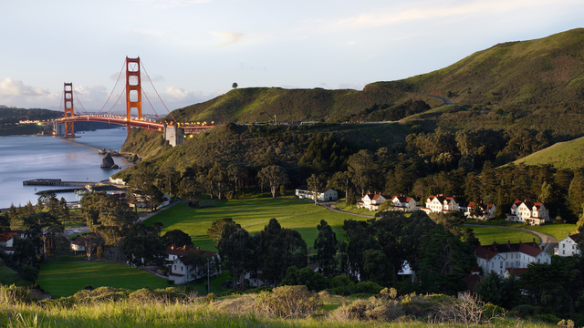
Hiking this trail is a simple out-and-back with a shaded path for the first portion of the trail. After the second bend, the views towards San Francisco and the Golden Gate Bridge are eye catching. At the third bend,  Fort Baker comes into view.

Habitat restoration volunteers work on Alta Ridge
Alta Trail
Difficulty Level: Moderately Strenuous
Trail Length: 5.02 miles round trip

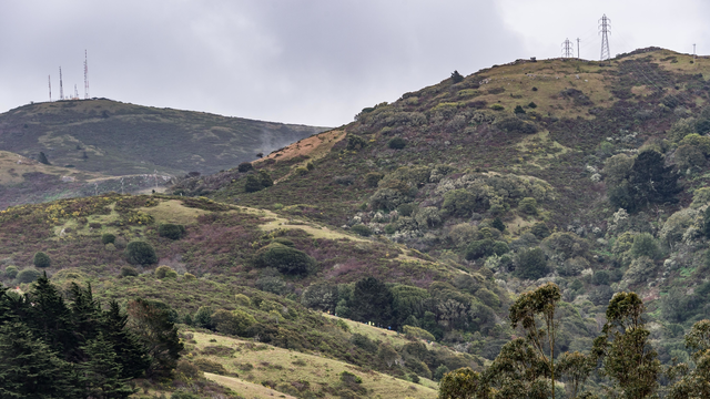
This is a long but gradual climb from the eastern side of the Marin Headlands. This fire road is in good condition, making for an easy route to meander along. 

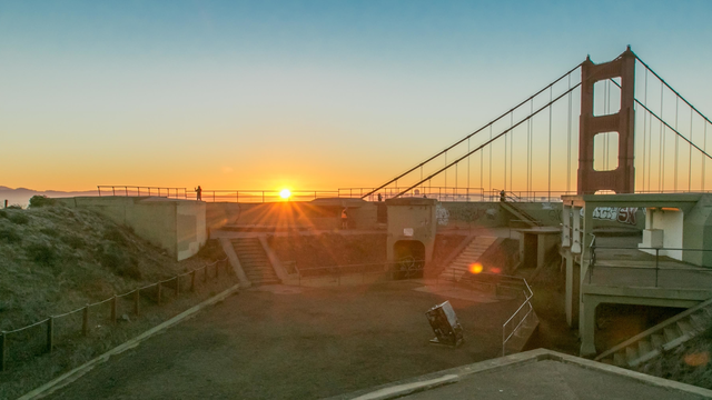
Sunrise from Battery Spencer
Battery Spencer Trail
Difficulty Level: Easiest
Trail Length: 0.86 miles round trip

Battery Spencer Trail is a 0.5 mile heavily trafficked loop trail located near Sausalito, California that offers scenic views and is good for all skill levels. The trail is primarily used for hiking and walking and is accessible year-round.
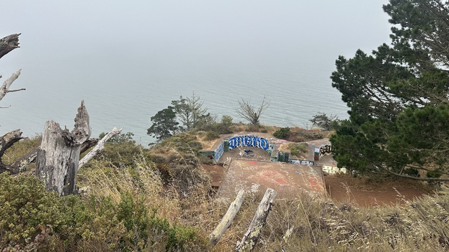
Battery Wagner along the Kirby Cove Road in the Marin Headlands.
Battery Wagner Trail
Difficulty Level: Easiest
Trail Length: 0.13 miles round trip

The 0.8-mile Battery Wagner Trail affords visitors a stellar view of the Golden Gate Bridge, perfect for snapping some photos.