The Native American Health Center welcomes indigenous communities and the greater public back to the Presidio for a day of dance, music, screen printing, an arts and crafts marketplace, health screenings, and more.
On this program, we'll learn the birdwatching basics: we will work together to identify birds, learn more about bird behavior and their habitats, and see all the bird drama up close. Come enjoy this spring season's bird action!
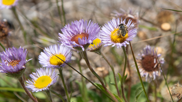
Join us at Rodeo Beach to celebrate World Migratory Bird Day! From 12:00-4:00PM, rangers and staff will have information and activities focused on various bird species found in the Marin Headlands, recent bird research/conservation in our park, and ways you can help our feathered friends.
The Formerly Incarcerated Speaker Series is a program on Alcatraz Island that lifts up and highlights the voices of people who have spent time inside of jails and prisons.
The Formerly Incarcerated Speaker Series is a program on Alcatraz Island that lifts up and highlights the voices of people who have spent time inside of jails and prisons.