DOWNLOAD PRINTABLE PDF (11" x 17"):
Rock Spring Self-guided Forest Walk | published July 2024
Paseo Autoguiado por el Bosque del Rock Spring (Spanish version) | published August 2024
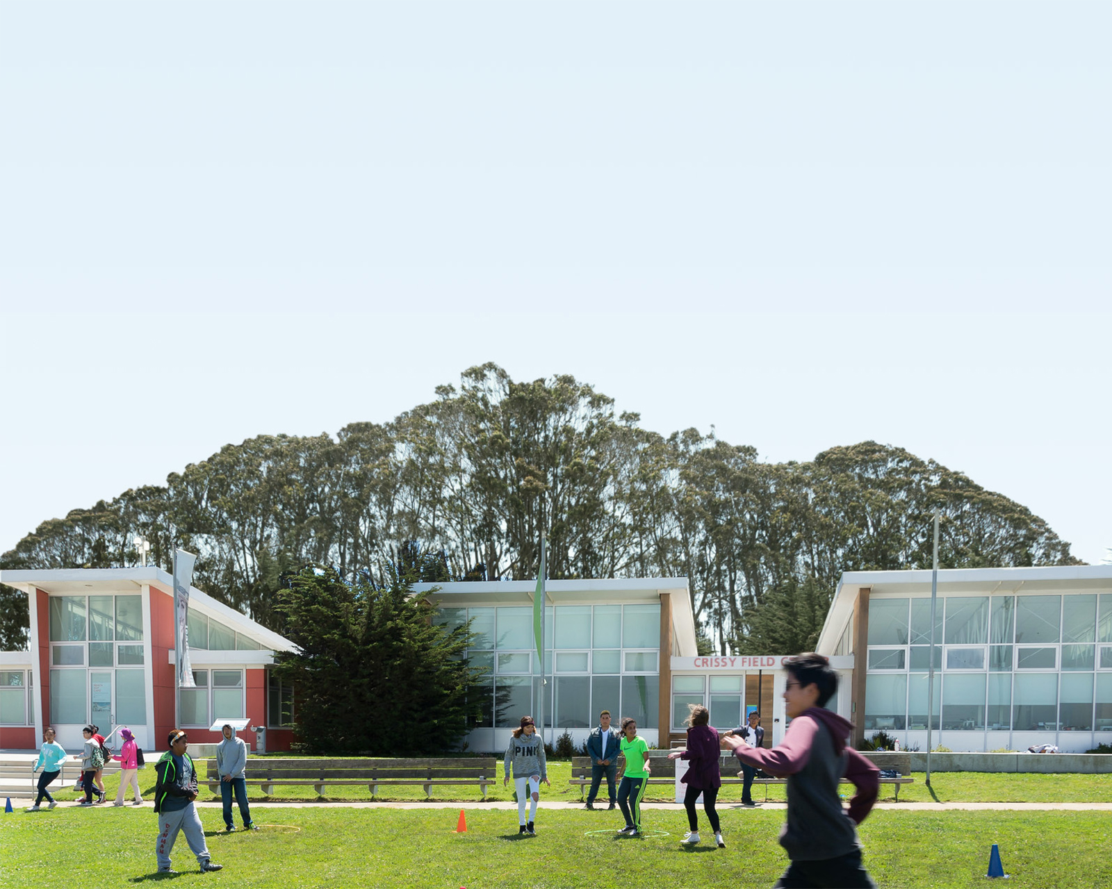
Self-guided forest walk at Rock Spring

A prescribed fire was conducted at Rock Spring in October 2023 as part of Marin Water’s approach to a more resilient, ecologically healthy watershed.
When used strategically and repeatedly across larger areas, beneficial fire not only helps restore ecosystems, but it also reduces the risk of out-of-control wildfire and protects our water quality, water system, and the surrounding community. Wildfires that occur in patchy, open landscapes are likely to be less intense than in dense, untreated areas.
This self-guided walk provides a closer look at the role of fire on the landscape. You’ll see the burn area, learn about beneficial fire and other tools of forest stewardship, and get some great views in.
Length: 1 mile | Climb: 183 ft

In October 2023, the 11-acre area indicated on the map experienced a prescribed fire—the planned and controlled use of fire by a team of experts under specific conditions of temperature, wind, and humidity.
Fire plays an important role—it helps maintain a patchwork of different ecosystems and resources, cycles nutrients, gives heat for fire-adapted species to regenerate, and helps with pest and disease control. Beneficial fire, which includes prescribed, cultural, and other managed fire, is an important tool of forest stewardship.
The landscapes of Marin County have been stewarded for many millennia by the Coast Miwok. Before colonization, fire occurred regularly at different intervals across the region. One Tam partners developed a county-wide strategy to improve forest health, and includes beneficial fire as a tool. Contributors included
One Tam partner staff and scientists, consultants, and the Federated Indians of Graton Rancheria (the Tribe). The Tribe is the only federally recognized Tribe whose ancestral territory is present-day Marin County. One Tam continues to consult and collaborate with the Tribe to inform this strategy and our future endeavors to ensure the Tribe’s perspectives and experiences are part of One Tam efforts.
Planning a beneficial fire involves many months of preparation, coordination, and community education. More is being planned in this area for late 2024-stay tuned! As you walk by, take a close look at the burned area. Which plants, wildlife, or other life do you see? Do you see evidence of fire? What differences do you see with other surroundings you will experience during your walk?
From the parking lot, take Cataract Trail to the intersection with Simmons Trail.
WATERSHED AT WORK
You are standing near the headwaters of Cataract Creek, within the Mt. Tamalpais Watershed. Most of Marin’s water supply (75%) comes from rainfall across this watershed, plus the grassy hills of West Marin. It’s collected in seven reservoirs, including Alpine Lake at the end of this trail. Maintaining healthy forests is essential for providing clean, abundant drinking water. For example, unhealthy forests can lose soil which can build up in reservoirs.
From this trailpost, take a short detour down the Cataract Trail until you reach a short rock wall on the right. This is the natural spring that gives this trailhead its name, Rock Spring. Water from this spring feeds the water tank on the left side of this trail, which holds 20,000 gallons of untreated water for wildland fire response and prescribed fire.
Turn around and return to the trailpost. Take Simmons Trail and continue your walk until the next trailpost. Turn right onto Benstein Trail.
WHAT’S WRONG WITH THESE TREES?
As you walk Benstein Trail, look for stunted tanoak along this section. Tanoak is highly susceptible to sudden oak death (SOD), a disease caused by a non-native water mold Phytophthora ramorum, introduced to the region in the early 1990s. After tanoak trees die from SOD, they resprout only to grow a few meters in height before dying again in a continuous cycle. This creates dense thickets of dead tanoaks and multiplies the fuel load in forests. In addition, the reduced tree height creates ladder fuels that help fires jump up into the forest canopy. These conditions could increase the intensity if a wildfire occurred.
Continue on Benstein Trail to an intersection with a trailpost and spur trail to the right. Take Benstein Spur to East Ridgecrest Boulevard. When you reach this road, stay left to continue slightly up to a gated fire road (don’t cross the street yet). Proceed straight on Lagunitas-Rock Spring Fire Road for 200 ft to a trailpost (Mountain Top Trail).
FOREST RESTORATION
Look uphill from the trailpost. Until very recently, this area was impenetrable and overgrown like some of the areas you just walked through. The cut-up trees and cleared areas you see here are examples of thinning—removing the understory by hand to create a more open landscape. The big piles of sticks that dot the view are slash, or the woody debris created during thinning. This is gathered and burned when conditions permit to recycle the nutrients into the landscape, and so that it doesn’t add fuels. Forest stewardship can involve attempts to mimic fire using manual tools. Like beneficial fire, this also reduces understory and fuels, and the spread of trees into other habitats like grasslands, but it doesn't provide as many benefits.
Look for trees that have a ring of bark removed. These are Douglas-firs, and this treatment is called girdling. Douglas-firs are native, but without fire their fast-growing saplings can encroach on other vegetation communities. Girdling causes trees to slowly decay, while retaining benefits that the trees provide such as wildlife habitat and carbon storage.
Carefully cross East Ridgecrest Boulevardto the dirt parking lot. Cut across this lot to the Mountain Theater Trail and continue until you are above the theater seats.
THE WORK OF THE CCC
The Mountain Theater (also called the Cushing Memorial Theater) is a National Historic Site and home to the annual spring Mountain Play, Sound Summit in support of Mt. Tamalpais State Park, and other special events. It was built in the 1930s by the Civilian Conservation Corps (CCC) which was created during the Great Depression to combat historic unemployment and develop the fledgling state and national park systems. Fire management also played a role in the formation of the CCC. Enrollees of CCC stations on Mt. Tamalpais cleared fire breaks and built fire access roads.
Continue straight past the water fountains and public restrooms to arrive at a trailpost. Take Mountain Theater Fire Trail till you encounter an open grassland. Stay on this trail.
FOG & FIRE
Mt. Tam’s unique geography and location near the coast have created a number of different microclimates with clusters of rare species. This part of the mountain receives a marine influence in the form of persistent summer fog, providing moisture for unique chaparral and grassland plants. These plants are also dependent on periodic fire for reproduction and regeneration.
You may notice Douglas-fir saplings (left, on the hill) moving into this open ecosystem. This grassland contains many shade-intolerant and vulnerable species. Reintroducing beneficial fire would help clear small saplings and maintain this area as grassland. It is necessary for the health of this fire and fog dependent community.
Keep following the Mountain Theater Fire Trail back to the parking lot.
DOWNLOAD PRINTABLE PDF (11" x 17"):
Rock Spring Self-guided Forest Walk | published July 2024
Paseo Autoguiado por el Bosque del Rock Spring (Spanish version) | published August 2024
LEARN MORE ABOUT: Forest health
You can support this work and get involved, so that Roy's Redwoods and other beloved places will thrive for future generations to enjoy.
BECOME A MEMBER: Join support this work and to access member events at onetam.org/become-member.
VOLUNTEER: See opportunities to get involved in caring for our public lands at onetam.org/calendar
Questions or comments about this self-guided experience can be shared with info@onetam.org
This self-guided experience is part of a series about our work to help Marin's forests. Each tour showcases a special place and what forest stewardship looks like there.